top of page

Wrecks
Mapping the many hidden gems of the sea requires time and patience.
With successful mapping the worlds wreck we can:
-
Measure and monitor for any structural changes;
-
Monitor and measure potential impacts to public safety, particular for divers who may frequently dive these wrecks; and
-
Assess impacts to the environment from wrecks breaking down over time.
In doing so we can aid in the preservation of historically significance sites, including ship wrecks.
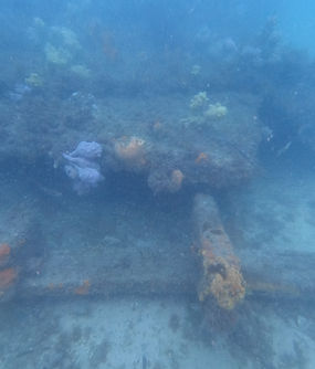


SS Oakland
Port Stephens, NSW

Osprey
Newcastle, NSW

Shamrock
Nelson Bay, NSW
SS Macleay Wreck
Port Stephens, NSW
bottom of page